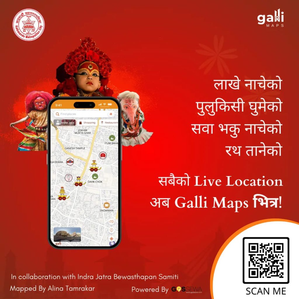
If you want to enjoy the Indrajatra festival in Kathmandu, Galli Maps app will help you to locate various activities and attractions of the festival this year. You can see where the chariot procession (Rath Yatra), the Lakhe dance, the Pulukisi dance, and other activities are happening, and how far they are from you. You can also get directions to reach them through the app on your phone.
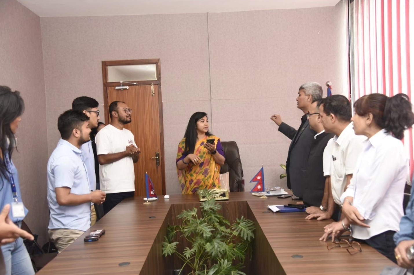
Sunita Dangol, Deputy Mayor of Kathmandu Metropolitan City, launched the service on the Galli Maps app on Monday (September 25). On the occasion, she also used the app to see the route and the details of the festival.
“Earlier, the lights going out were taken as a signal that the chariot was approaching. Now you can make your preparations by looking at the location on mobile. It will provide important information to devotees who perform puja, and to the members of Guthi who have to fulfill their obligations during the Rath Yatra,” KMC’s Deputy Mayor Sunita Dangol said on the occasion.
She also made a social media post on the occasion,
Raj Bikram Maharjan, founder and developer of Galli Maps said, “We had developed the app utilizing our time during the COVID 19 pandemic. The app has information about every street of Kathmandu, as well as nearby places like restaurants, public toilets, banks, offices, clinics, hospitals, pharmacies, temples, and more. The app also has a feature to report urban problems by taking pictures and sending them with descriptions.”
Galli Maps has an updated map of the city. Users can see information about the places in the city including restaurant name, public toilets, banks, metropolitan city/ward office, clinic, hospital, pharmacy, temples, etc.

With Galli Maps, you can navigate through the streets of Kathmandu valley, search nearby locations, and even locate houses with house numbers. Galli Maps had also won the Product ICT Award 2022. You can download the app from here (for Android), and here for (iPhone)


